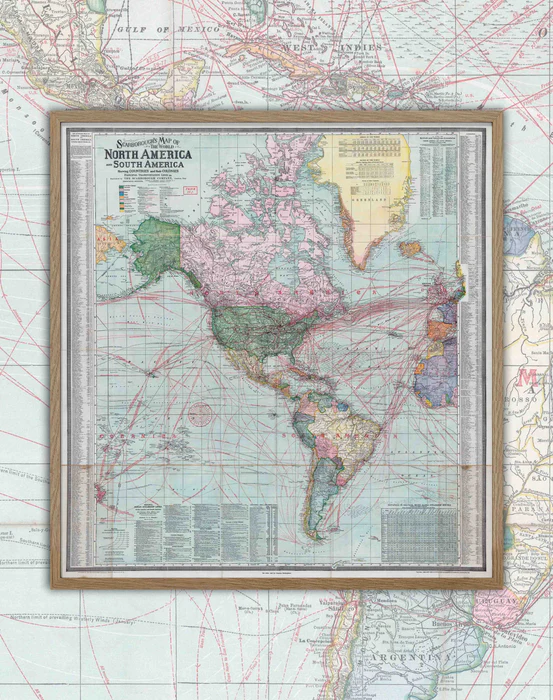


1910 America - Framed


Fabricamos con cariño
Pide este producto hoy para tenerlo entre el Lunes 24 de Marzo y Lunes 31 de Marzo.
- Size: 77x73cm
- Year : 1910
- Scale: 1 : 26,000,000
- Printing: Canson 180gsm Art Paper.
- Framed: Directly in natural wood 2x2 cm, includes glass and hangers.
- Shipments : Within Santiago, other shipments choose Lamina format.
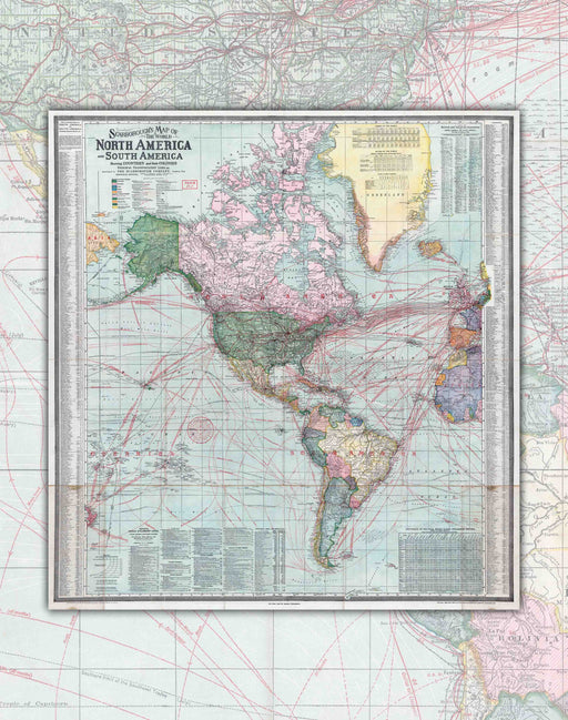
Immerse yourself in the history and geography of America with this beautiful 1910 Map of Scarborough.
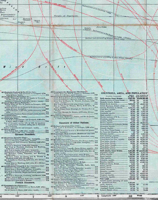
This detailed and comprehensive map shows the color-coded colonies in each territory, classified and proposed railroads, steamship and navigation routes, ocean currents, treaty ports, navigable rivers, major highways, telegraph lines, U.S. and consulates. British, and landforms.
In addition, you will find illustrations of "flags of the world" and portraits of the "chief rulers of the world," directories of "Principal Ocean Steamship Lines," distance tables for steamship routes, special legends for trade, imports, and exports, indexed lists of British and American consulates, 2 nautical mile scales at different latitudes, and statistical tables of countries, area, and population.
The relief is shown by shading and point heights, which makes the map even more fascinating and easy to read. Additionally, the map is printed on fine art paper, making it ideal for framing and hanging on your wall or as a stunning piece in your personal library.