Skip to content
¿Necesitas enmarcar? Haz click acá

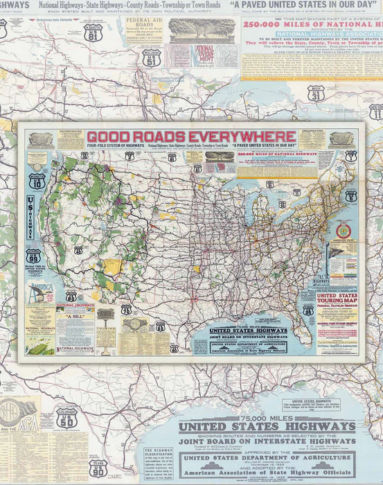
Map of the United States and its Highways, 1926 - Print

Original price $0
Original price $0 - Original price $0
Original price $0
Current price $38,000
$38.000 - $38.000
Current price $38.000
Icon
Fabricamos con cariño

Pide este producto antes de las 11:00 am para tenerlo entre el Jueves 09 de Octubre y Martes 14 de Octubre.

  • Size: 90x63cm
  • Printing: Canson PhotoMatt 180gr paper. specialized for art reproduction and long duration.
  • Year of creation : 1926
  • Shipping: Worldwide rolled in Mappin Box.
The National Highway Association (NHA) was established in 1911 to promote the development of an improved national highway network in the United States. Under the motto “Good roads everywhere!” (Good Roads Everywhere), the NHA advocated for the construction and permanent maintenance by the federal government of a system of 50,000 miles (about 80,500 kilometers) of highways.

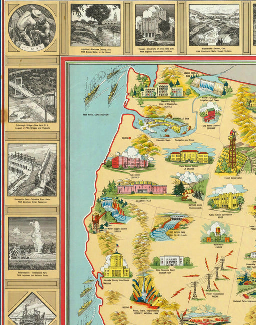
This system would be made up of six main national highways, 13 trunk national highways, and 40 connecting highways. The link roads, the NHA explained, would connect "the main network and trunk lines" and stretch "in all directions until the country as a whole is covered with almost a web of roads."

The map was issued jointly by the National Highway Association and the Automobile Club. Cartography by John C. Mulford and CC fauncia lithographed and printed by A. Hoen & Company, Baltimore. Includes numerous blocks of text for extensive information on the history of highway construction, information on the four-part highway system, and organizational information on the National Highway Association, including members of various councils. It shows the boundaries of states, cities, towns, and many Indian reservations in the United States in yellow.

Pickup available at Punto Retiro Mappin

Usually ready in 2-4 days
Paga hasta en 3 cuotas de $12.666 con débito o crédito y sin interés  

Te podría gustar

  • Original price $0 - Original price $0
    Original price $0
    $37.000
    $37.000 - $37.000
    Current price $37.000

    Map of the United States and its Public Works - Art Print

    Size: 81x55cm Printing: Canson PhotoMatt 180gr paper. specialized for art reproduction and long duration. Year of creation: 1935 Sh...

    View full details
    Original price $0 - Original price $0
    Original price $0
    $37.000
    $37.000 - $37.000
    Current price $37.000
  • Original price $42.000 - Original price $42.000
    Original price
    $42.000
    $42.000 - $42.000
    Current price $42.000

    United States Railroad Map - Art Print

    Size: 87x68cm Printing: Canson PhotoMatt 180gr paper. specialized for art reproduction and long duration. Year of creation: 1935 Shi...

    View full details
    Original price $42.000 - Original price $42.000
    Original price
    $42.000
    $42.000 - $42.000
    Current price $42.000