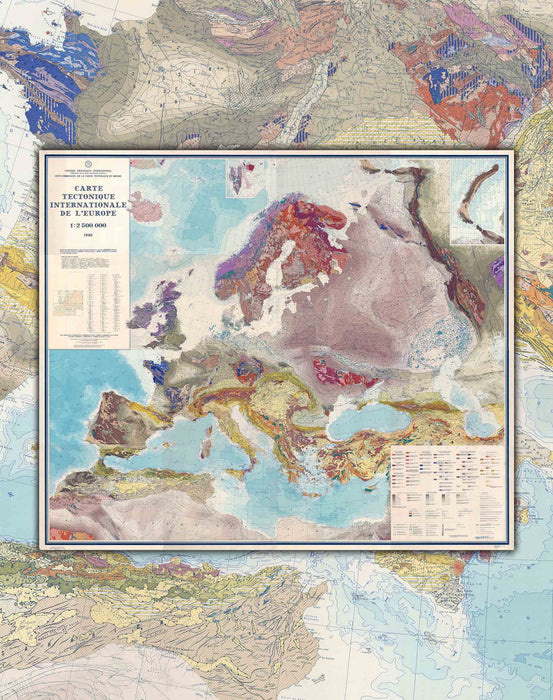
Geological Map of Europe - Print
Envío y Retiro inmediato
Fabricamos con cariño; pide este producto hoy para tenerlo entre el Lunes 25 de Noviembre y Jueves 28 de Noviembre.
Fabricamos con cariño
Pide este producto hoy para tenerlo entre el Lunes 25 de Noviembre y Lunes 02 de Diciembre.
- Size: 90x82cm
- Printing: Canson PhotoMatt 180gr paper. specialized for art reproduction and long duration.
- Year : 1962
- Scale : 1: 2,500,000
- Shipping: Worldwide, rolled in a Mappin box.
Geological maps are essential to understanding a given region, and they are used in many different fields. For example, in mining, geological maps are useful for locating mineral deposits and determining their economic viability. In civil engineering, geological maps help engineers to design and build safe and stable structures, taking into account the geological characteristics of the terrain. They are also important for urban planning and environmental management, as they make it possible to identify seismic or volcanic risk zones, or areas that may be vulnerable to erosion or contamination.
This 1962 map was prepared for publication by the Commission for International Tectonic Maps of the Section of Geological and Geographical Sciences of the USSR Academy of Sciences.


