School Maps
-
 Original price $0 - Original price $0Original price $0$42.000$42.000 - $42.000Current price $42.000
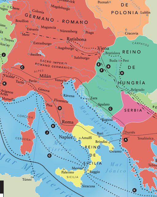
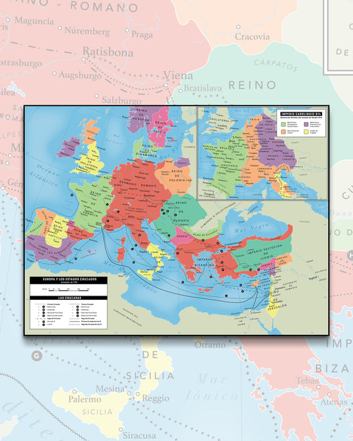
Europe and the Crusades (year 1140), Carolingian Empire (814) - Plate
Size : 110x84cm This is a detailed and educational printed map showing the geography of Europe at the time of the Crusader states in the y...
View full detailsOriginal price $0 - Original price $0Original price $0$42.000$42.000 - $42.000Current price $42.000 -
 Original price $0 - Original price $0Original price $0$39.900$39.900 - $39.900Current price $39.900
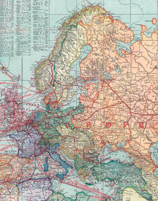
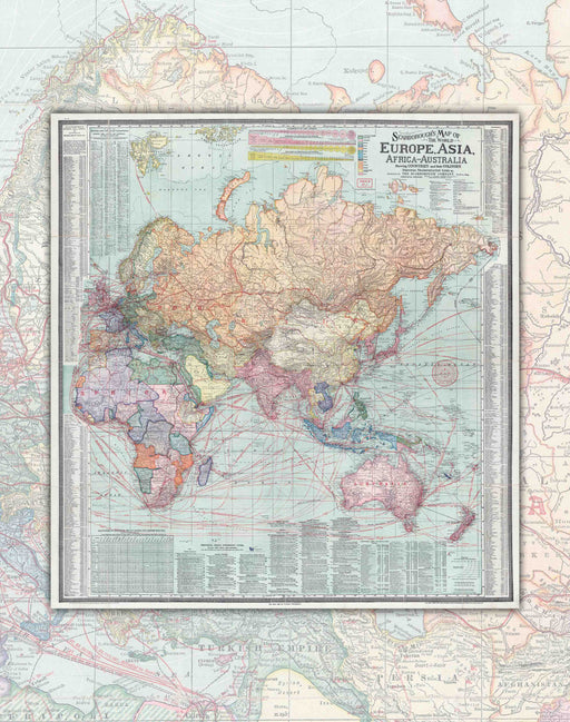
Europe and Asia in 1910 - Print
Size: 69x73cm Year : 1910 Printing: Canson 180gsm Art Paper. Shipping : Worldwide rolled in Mappin box. Reference image, Print for...
View full detailsOriginal price $0 - Original price $0Original price $0$39.900$39.900 - $39.900Current price $39.900


